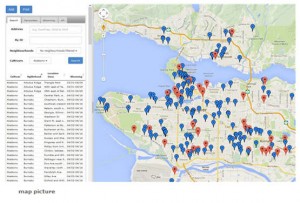
Check out some of the more than 3,000 locations of ornamental cherries on our Festival map! About 50 different cultivars of flowering cherry trees come into bloom, lighting up Metro Vancouver and painting neighbourhoods in awash of colour from a blush of pink to pure snow-white cherry blossoms.
The map opens showing you our festival favourite locations, which may or may not be in bloom now. Search by neighbourhood or cultivar, or a combination of those, to see all the trees we have on the map. Or change the dates to see what is in bloom when you plan to go out flower viewing.
Hint for photographers: click the Favourites button on the map to see the locations offering the best photo-ops. Or click the Blooming button for what all is blooming now. The red markers are the favourites, the good photo-op locations.
We have had requests to suggest these hints as well:
1) do not climb the trees
2) do not break the branches
3) be respectful of the residents who live on the street
4) do not stop in the middle of the street
5) keep your visit to a max of 15mins (cause really, how long does it take to snap a few photos?)
6) stay on city property, do not go on private property
7) try to stay off the grass, especially if you are wearing heels.
Mostly – be respectful to the environment and the residents. Remember that it is the residents who are responsible for caring for those trees.
Click on the Map picture to go to the map page. Note: Until we are well into the current blooming season, the blooming dates are based on the dates from the previous year. They may not be an accurate prediction for the coming year.
Please send comments or questions about the map (and corrections!) to [email protected].
Once the season gets going, you can check the Blooming Now page to find out which of our featured locations are in bloom right now, with photos and links to Cherry Scouts’ descriptions of what you’ll see.